.png)


How High-Resolution Cameras are Transforming Drone Applications
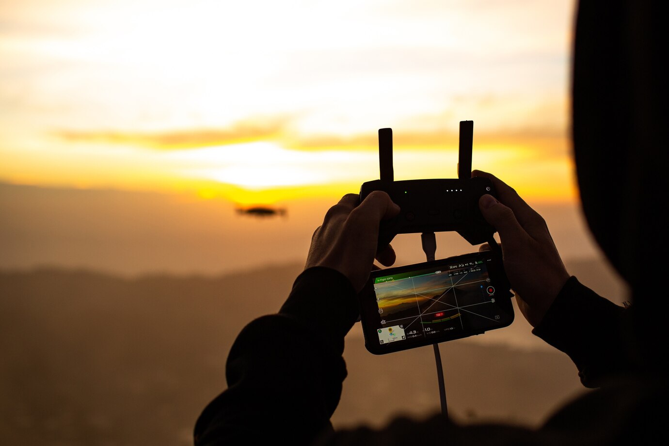
Drones have evolved from simple aerial devices to sophisticated tools, largely due to advancements in high-resolution cameras. These powerful imaging systems have unlocked new possibilities across industries, improving accuracy, efficiency, and data collection. From surveillance to environmental monitoring, high-resolution cameras are revolutionizing drone applications.
Enhanced
Aerial Photography & Videography
Professional
photographers and filmmakers leverage high-resolution cameras on drones to
capture breathtaking aerial shots. With features like 4K and 8K resolution, HDR
imaging, and advanced stabilization, drones can now provide cinematic visuals
once limited to helicopters and expensive equipment.
Precision
in Mapping & Surveying
Drones
equipped with high-resolution cameras are crucial for land surveying,
construction site mapping, and urban planning. They produce detailed
topographic maps, 3D models, and geospatial data with remarkable accuracy,
reducing the time and cost associated with traditional surveying methods.
Improved
Security & Surveillance
Security
agencies and law enforcement utilize drones with high-resolution cameras for
real-time monitoring. Their ability to capture detailed images from a distance
enhances crowd control, border security, and crime scene analysis while
ensuring minimal risk to personnel.
Agriculture
& Precision Farming
High-resolution
drone cameras allow farmers to monitor crop health, detect pest infestations,
and assess soil conditions with detailed aerial imagery. This data-driven
approach optimizes resource allocation, reduces waste, and boosts yield
efficiency.
Disaster
Management & Search Operations
Drones
play a crucial role in disaster relief by providing high-resolution aerial
images of affected areas. This enables rescue teams to assess damage, locate
survivors, and strategize operations efficiently, even in inaccessible
locations.
Wildlife
Conservation & Environmental Monitoring
Conservationists
use drone cameras to track wildlife, monitor deforestation, and study
ecosystems without disturbing natural habitats. High-resolution imagery helps
analyze changes over time and supports efforts to combat climate change.
Conclusion
High-resolution
cameras have significantly expanded the capabilities of drones across multiple
industries. As technology advances, their applications will continue to grow,
making drones an indispensable tool for data collection, analysis, and
decision-making. The future of drone applications is brighter and
sharper—literally—thanks to high-resolution imaging.
Leave a Comment
Your email address will not be published. Required fields are marked *