.png)


The Role of Drones in Climate Change Monitoring
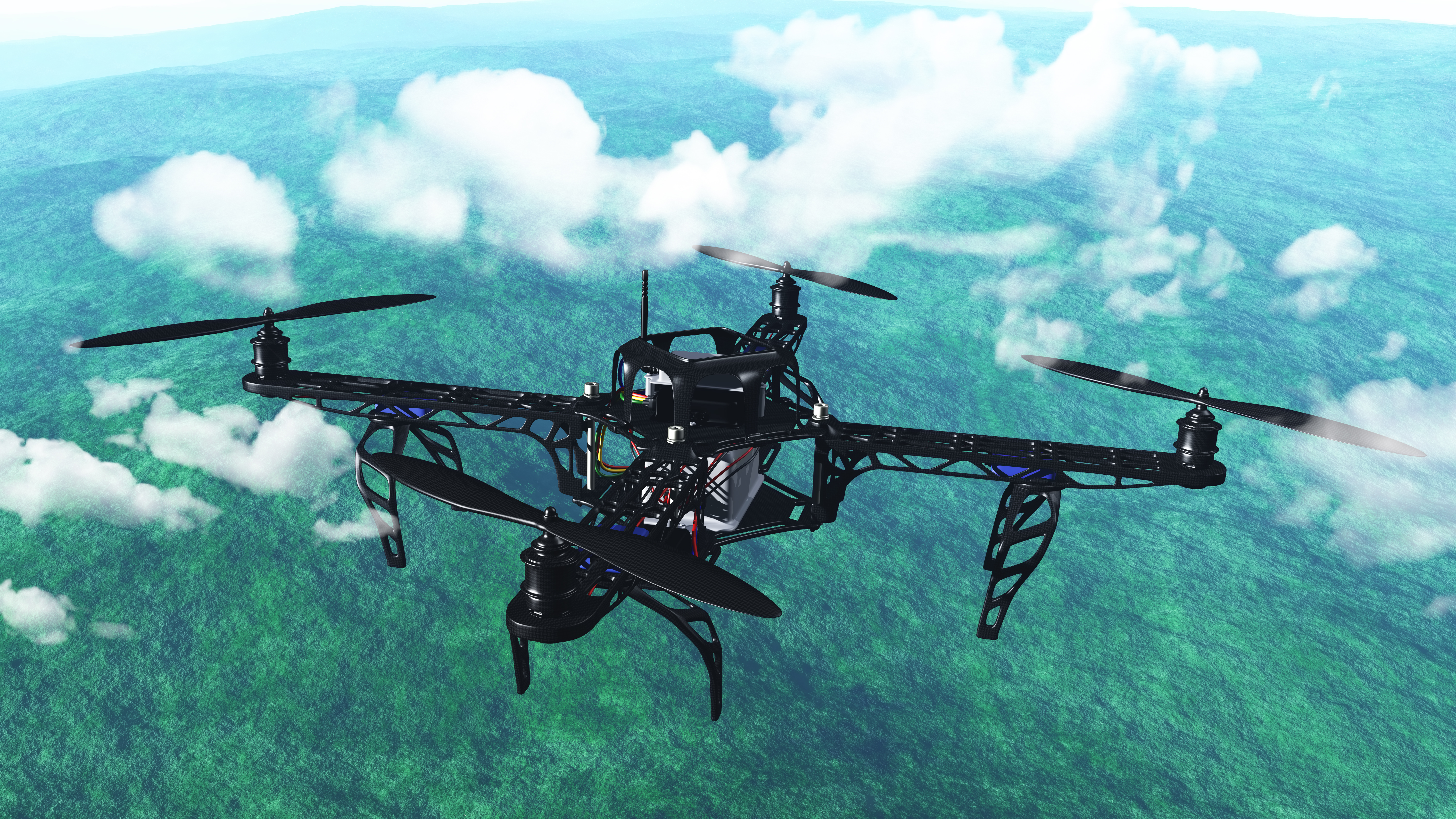
Climate change is one of the most pressing global challenges, requiring accurate data and innovative solutions for mitigation and adaptation. Drones, also known as unmanned aerial vehicles (UAVs), are proving to be invaluable tools in monitoring environmental changes, collecting real-time data, and supporting climate research. Their ability to access remote and hazardous areas makes them an essential technology in the fight against climate change.
How Drones Are Used in Climate Monitoring
Measuring Greenhouse Gas Emissions
Drones equipped with specialized sensors can detect and measure greenhouse gases (GHGs) such as carbon dioxide (CO2), methane (CH4), and nitrous oxide (N2O). These emissions contribute to global warming, and accurate data collection helps scientists understand their sources and impact. Unlike traditional ground-based or satellite monitoring, drones provide high-resolution, localized data in real-time.
Monitoring Deforestation and Land Use Changes
Forests play a crucial role in absorbing carbon dioxide, but deforestation due to agriculture, logging, and urbanization threatens this natural carbon sink. Drones can capture high-resolution aerial imagery of forests, tracking deforestation patterns and assessing land use changes. This data supports conservation efforts and informs policymakers on sustainable land management strategies.
Glacier and Ice Cap Monitoring
Rising global temperatures are causing glaciers and polar ice caps to melt at alarming rates, contributing to sea level rise. Drones are used to monitor ice thickness, movement, and melting patterns. By capturing detailed 3D models and thermal imaging, researchers can analyze changes over time and predict future impacts on coastal communities.
Assessing Natural Disasters and Climate Impacts
Extreme weather events, such as hurricanes, wildfires, and floods, are becoming more frequent due to climate change. Drones provide rapid aerial assessments of affected areas, helping emergency responders allocate resources effectively. They can also track wildfire spread, monitor coastal erosion, and evaluate damage from storms, contributing to climate resilience planning.
Biodiversity and Wildlife Conservation
Climate change affects ecosystems and biodiversity by altering habitats and migration patterns. Drones equipped with thermal cameras and AI-driven analytics assist in tracking endangered species, assessing habitat changes, and preventing illegal poaching. This helps conservationists develop strategies to protect wildlife and maintain ecological balance.
The Future of Drones in Climate Science
As drone technology advances, we can expect even more sophisticated applications in climate monitoring. AI-powered analytics, improved battery life, and enhanced sensor capabilities will enable drones to provide more accurate and comprehensive environmental data. Additionally, collaboration between governments, research institutions, and private companies will enhance the role of drones in climate action initiatives.
Conclusion
Drones are proving to be game-changers in climate change monitoring. Their ability to gather precise, real-time data from hard-to-reach areas makes them indispensable for researchers and environmentalists. As we continue to tackle climate change, integrating drone technology into environmental monitoring will be crucial for developing effective mitigation and adaptation strategies.
Leave a Comment
Your email address will not be published. Required fields are marked *