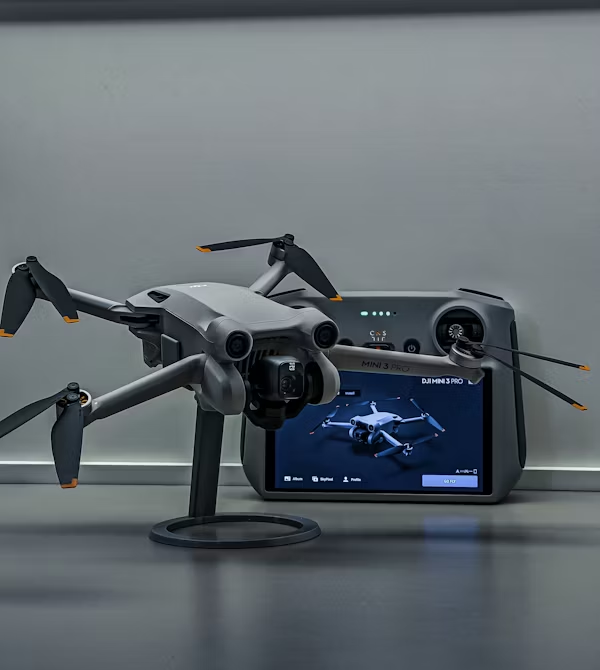
Redefining Interior Mapping with Drones
Indoor drone mapping is emerging as a game-changer for industries that require detailed layouts of indoor spaces. Unlike their outdoor counterparts, indoor drones rely on advanced technologies like LiDAR, SLAM (Simultaneous Localization and Mapping), and optical sensors to function effectively without GPS. These drones can create highly accurate 3D models of enclosed areas such as warehouses, construction sites, and industrial facilities, providing valuable spatial insights with minimal manual effort.
The impact of this technology is substantial. Indoor drones streamline inspection and surveying tasks that were once time-consuming and error-prone. They navigate safely through tight spaces, detect structural features, and collect data from areas that are difficult or dangerous for humans to access. This makes them especially valuable for sectors including manufacturing, infrastructure management, and emergency response planning. As demand grows for real-time building intelligence and digital twins, indoor drone mapping is stepping into the spotlight. The ability to capture precise interior layouts quickly and safely enables smarter decision-making and enhances operational efficiency. With AI integration and cloud-based platforms, professionals can visualize and share accurate spatial data anytime, anywhere — ushering in a new era of intelligent interior mapping.
.png)


Leave a Comment
Your email address will not be published. Required fields are marked *