.png)


Transforming Precision: The Impact of RTK (Real-Time Kinematics) on Drones.
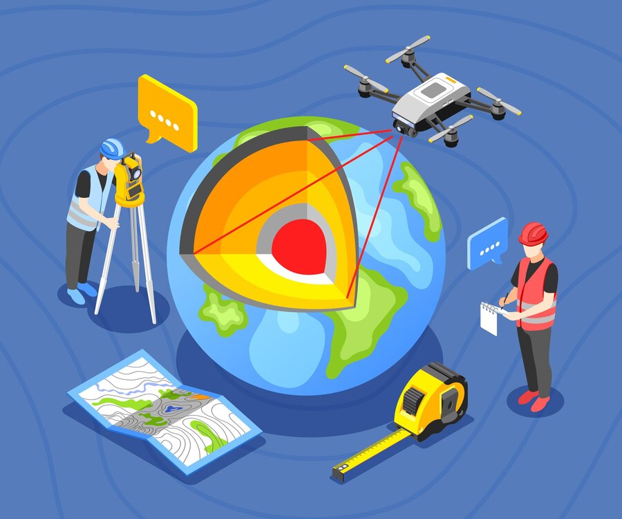
Real-Time Kinematics (RTK) is an advanced technology that has elevated the accuracy of drones to new heights, providing centimeter-level precision. Unlike conventional GPS, which is limited to several meters of accuracy, RTK uses a base station and mobile receiver to receive continuous correction data in real-time. This significantly reduces the impact of errors like signal interference and atmospheric conditions, making RTK-equipped drones essential tools for industries that demand high-precision data, including surveying, agriculture, and construction.
In fields
such as surveying and mapping, RTK drones have streamlined operations by
eliminating the need for manual corrections or additional ground control
points. This leads to faster data acquisition and reduces the overall time and
cost of projects. RTK drones are also transforming agriculture, offering
farmers a means to optimize operations such as crop monitoring, irrigation, and
resource management through highly accurate, real-time data.
While
RTK-equipped drones can be more expensive initially, they bring significant
long-term benefits, such as reduced need for post-processing and enhanced
project efficiency. As the technology continues to evolve, challenges like
maintaining a stable connection to a base station and managing the higher cost
of equipment are becoming more manageable. With ongoing improvements in the
accessibility and affordability of RTK technology, drones equipped with this
feature are becoming indispensable across various industries that rely on
accurate and efficient data collection.
Leave a Comment
Your email address will not be published. Required fields are marked *