.png)
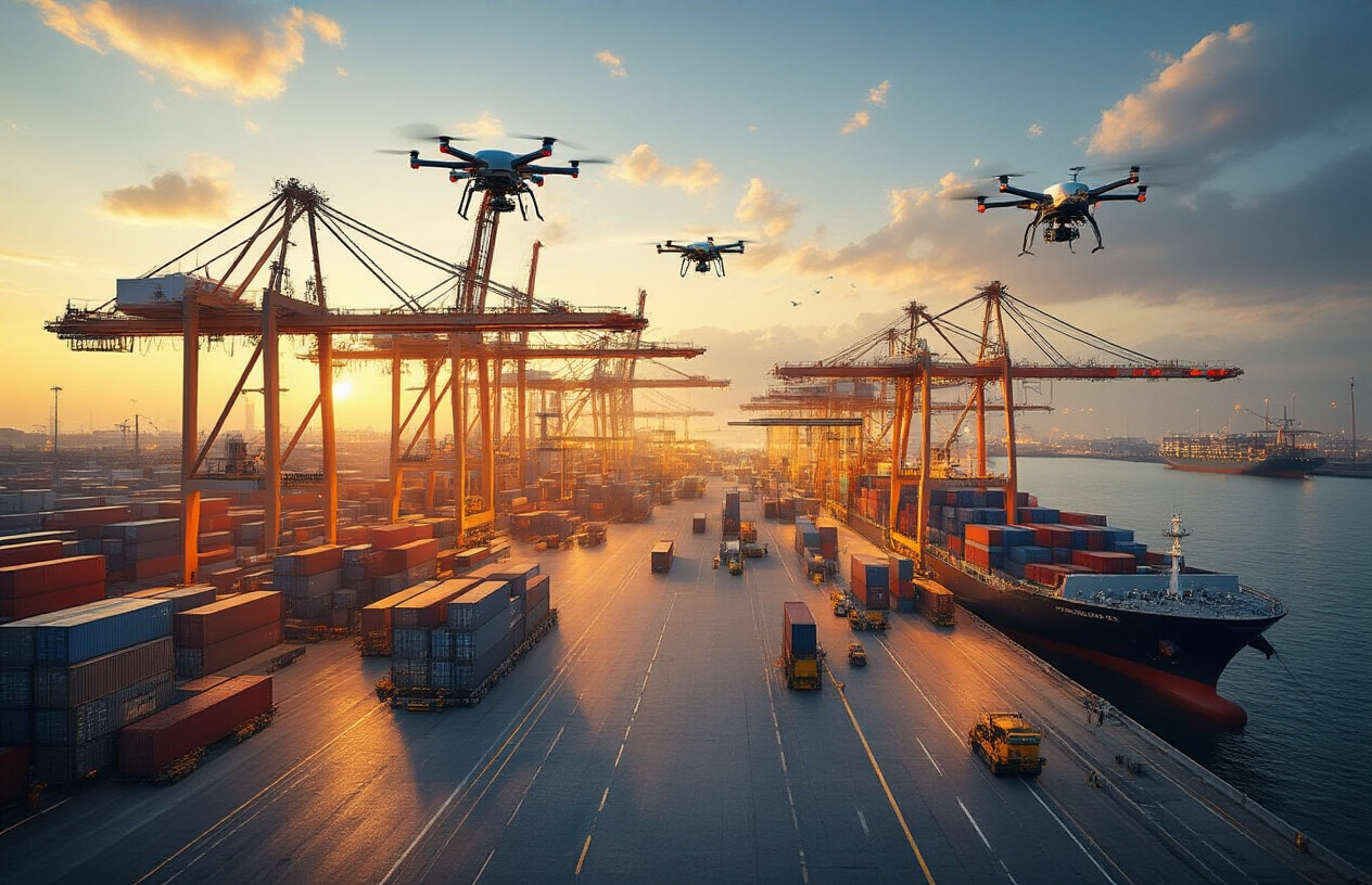


Drone mapping is transforming the way smart cities in India are planned, developed, and managed by providing high-resolution, accurate, and real-time geospatial data. Unlike traditional land surveying methods that are often time-consuming, expensive, and limited in coverage, drone mapping uses unmanned aerial vehicles (UAVs) equipped with advanced sensors, cameras, LiDAR, and GPS technology to capture detailed information about urban environments efficiently and safely.
One of the key strengths of drone mapping technology is its ability to generate precise 2D maps, 3D models, and digital elevation models (DEMs) through photogrammetry and LiDAR scanning. These outputs help urban planners and engineers analyze land use patterns, building structures, road networks, drainage systems, and terrain variations with exceptional accuracy. The ability to collect data quickly also reduces on-ground disruption, making it ideal for densely populated urban areas.
In infrastructure planning and monitoring, drone mapping plays a vital role by supporting the design and execution of roads, metro corridors, utilities, public spaces, and smart infrastructure projects. During construction, regular drone surveys help track progress, identify design deviations, reduce errors, and control project costs and timelines. Drones are also widely used for inspecting bridges, flyovers, pipelines, and aging structures, enabling preventive maintenance and improving public safety.
Beyond infrastructure, drone mapping contributes significantly to urban sustainability and resilience. City authorities use drone data to monitor traffic flow, urban flooding, green cover, air quality zones, and encroachments, while also supporting disaster preparedness and emergency response planning. As smart cities adopt GIS platforms, digital twins, AI-driven analytics, and IoT systems, drone mapping serves as a critical data layer that connects the physical city with digital planning tools.
With continuous advancements in regulatory frameworks, sensor technology, and data analytics, drone mapping is becoming an indispensable component of future-ready smart cities, enabling data-driven decision-making, efficient urban management, and sustainable growth.
Leave a Comment
Your email address will not be published. Required fields are marked *